Continuous Operations
Zero reliance on local telecom towers keeps project timelines moving, even at remote sites.


Since 2006, our team of highly skilled Geospatial Engineers has built a strong reputation as industry leaders in land surveying and site mapping. At Naven Survey And Constructions LLP (NSCLLP), we are known for delivering precision, professionalism, and cutting-edge solutions across every project.
India's 1st provider of fully operational offline DGPS surveying, we map dead-network zones with absolute mathematical precision.
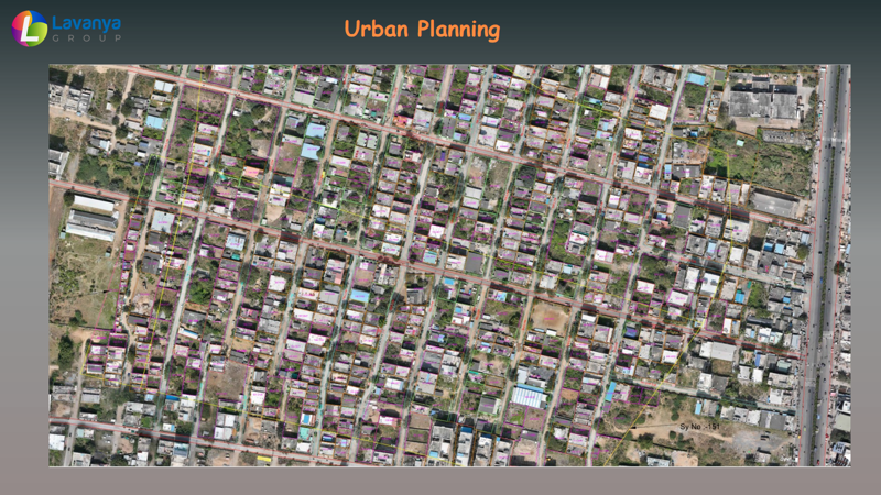
We take immense pride in our state-of-the-art technological toolkit — drones, LiDAR, DGPS, and thermal imaging — delivering highly accurate, actionable data.
Our professionals stay ahead of the curve through ongoing training and development, embracing the full potential of emerging technologies.
From remote-field surveying to coordinated digital delivery, we keep your project accurate, connected, and ready for the next stage.
Zero reliance on local telecom towers keeps project timelines moving, even at remote sites.
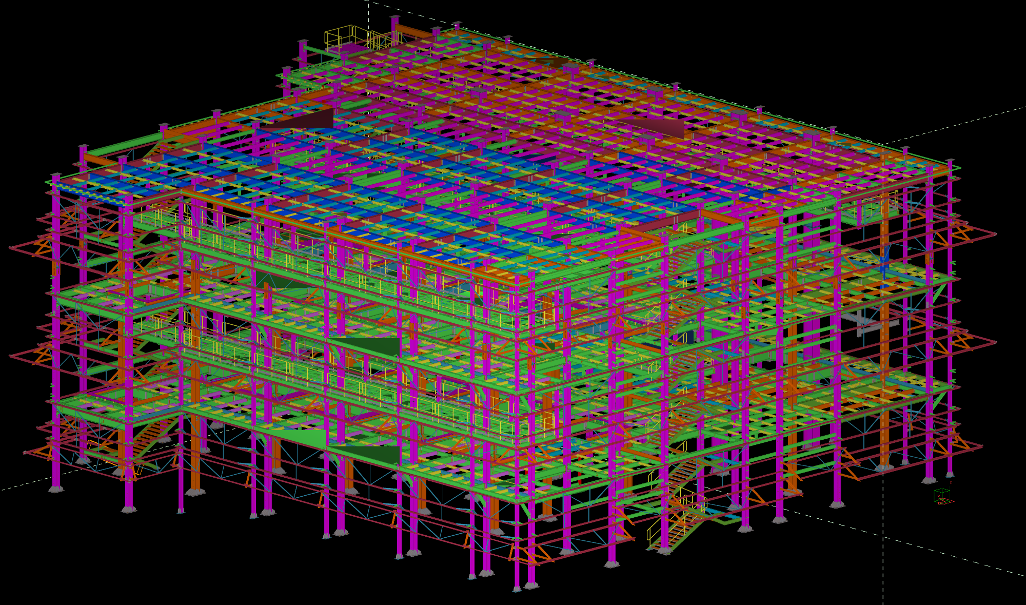
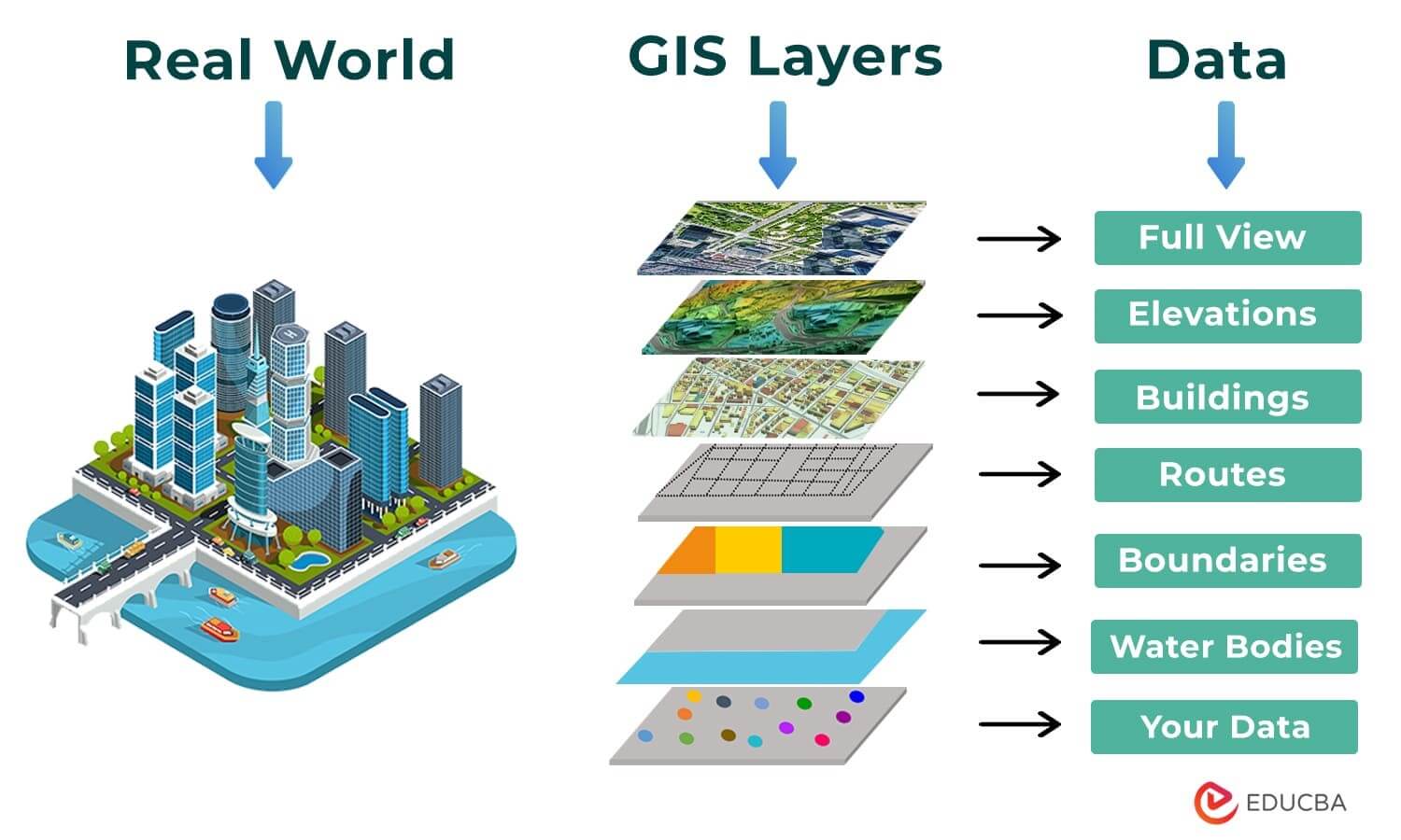
We manage the data chain from physical survey capture to the coordinated digital twin.
Drone LiDAR and clash-free MEP layouts reduce field variations and costly structural rework.
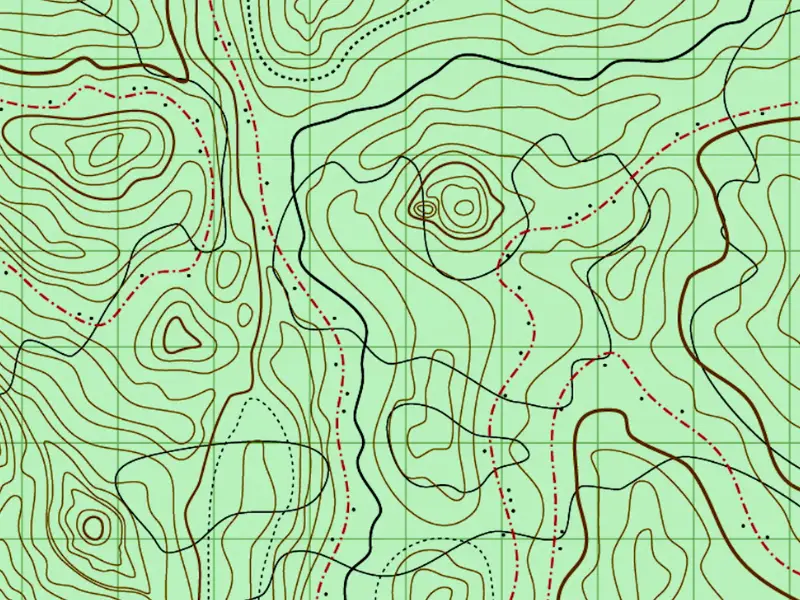
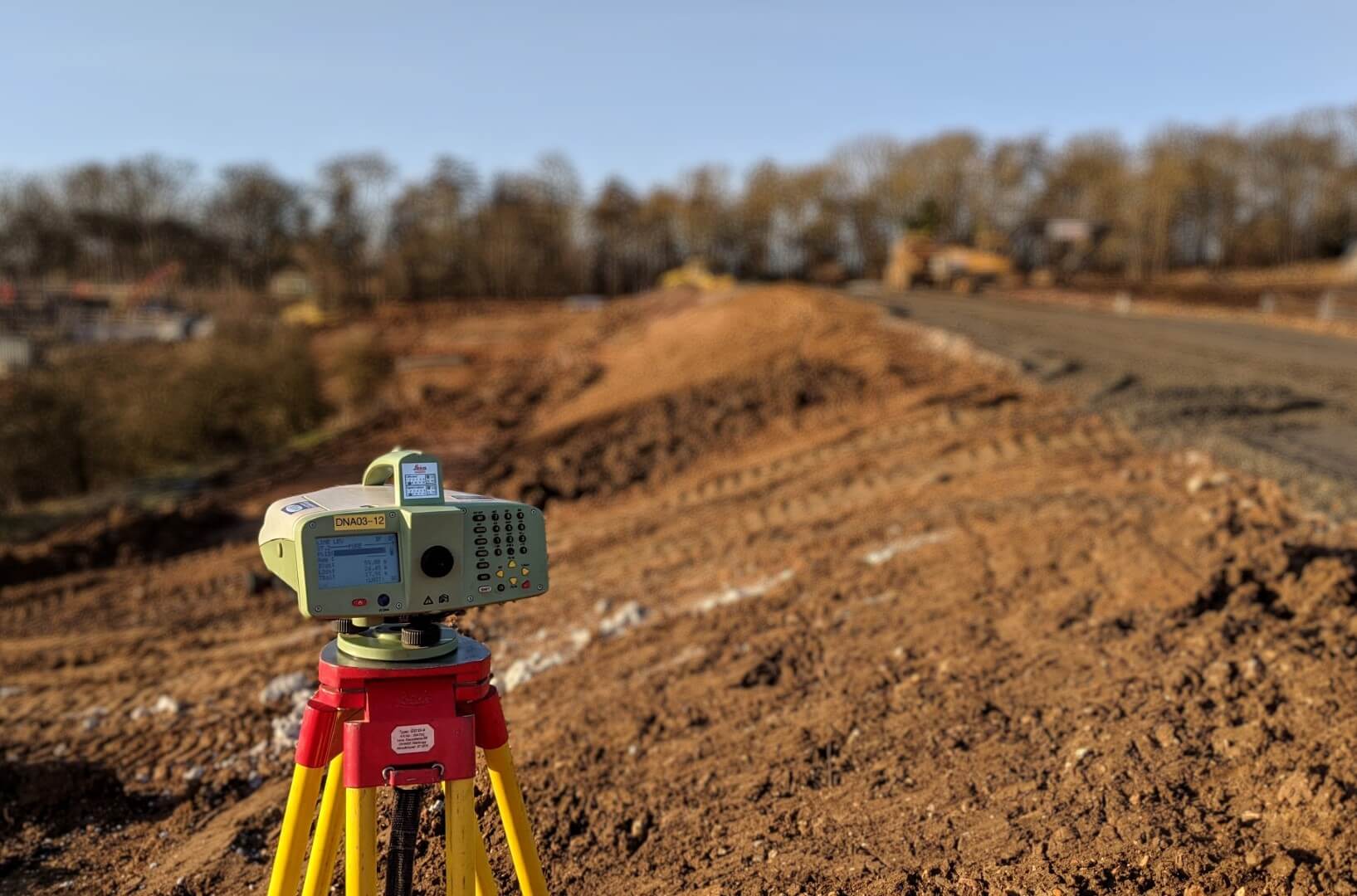

Delivering transformative, cost-effective surveying and geospatial solutions to support development, compliance, and innovation.
0866 3102004
+91 7981437982
+91 80084 30439
Flat No:203, 2nd Floor, Arien Apartments,Panjagutta Officers Colony, Hyderabad – 500082
D.No 54-16-8/2 Plot No: 84, Road No. 5, Beside Vinayak Theatre Lane, Venkateswara Nagar, Vijayawada - 520008
info@nscllp.in